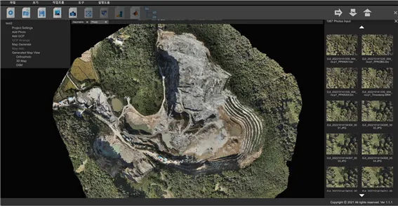
Photo Survey
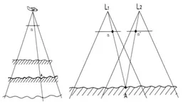
FMWorks Inc. developed a Photo Survey for the localization of its aerial surveying program, which can calculate consecutive duplicate photos and location information to obtain spatial information based on three dimensions.
It performs basic functions of aerometric, such as orthoimages / DSMs / 3D modeling, and can develop setting options and additional functions based on the user's purpose.
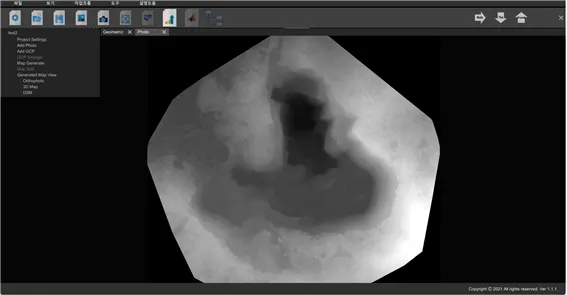
Orthophoto / DSM / 3D modeling
Develop user-friendly setup options and a variety of additional features
Photo matching UI
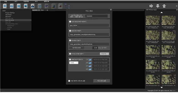
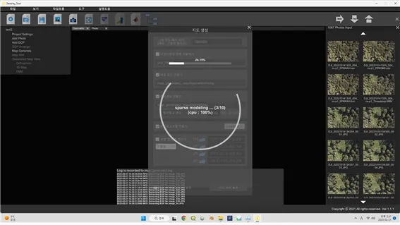
Photo matching processing
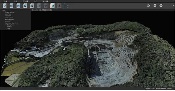
Result of Orthophoto / DSM
Result of 3D modeling / GCP UI

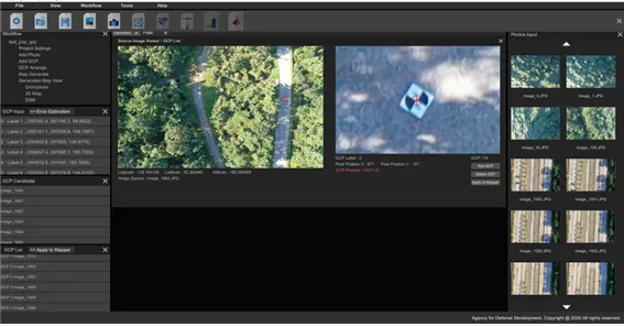
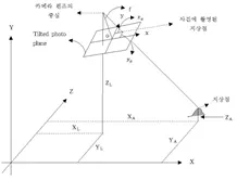
3D-based photography location and GCP location UI
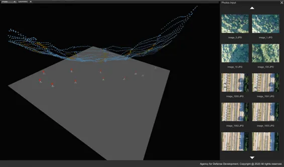
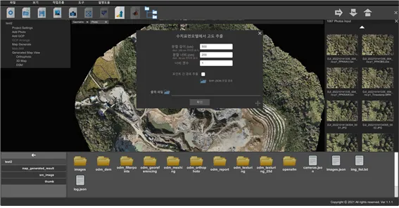
Altitude extraction UI