PFDI(Program for Prediction Flooding using Drone Image)
Flooding Prediction / Visual Visualization and 3D Simulation

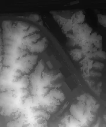
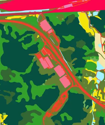
The flooding / finundation simulation developed by FM Works Inc. enables highly accurate flooding and flooding predictions by inputting rainwater permeability using precipitation data and land cover using DSM (Digital Surface Moedl) obtained from aerial photography with a drone. With the reservoir simulation function, you can predict the scale of damage by comparing flood simulation results before and after reservoir installation in areas where flood damage is expected to be significant. In addition, you can check the results of inundation and flooding simulations using the latest orthoimagery and 3D modeling for visual visualization.
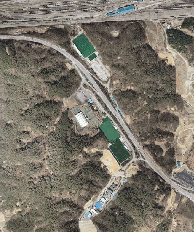
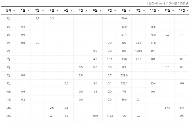
Orthophoto / Precipitation data
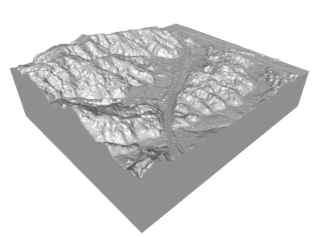
DSM(DEM) / Land cover map
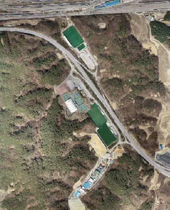
OUTPUTS