Landslide Analysis Drone
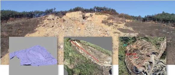
3D modeling of landslides
Extraction of slope length of landslide damaged area
Calculation of Landslide Damaged Site
By using drones at landslide sites that are difficult to access and dangerous, secondary accidents can be prevented and digital twining of disaster sites can be done safely. The 3D model based on photorometry can be used for various tasks such as slope length extraction, area calculation, and cross-sectional analysis as well as intuitive on-site understanding. It also supports calculation of damage in areas affected by forest fires.
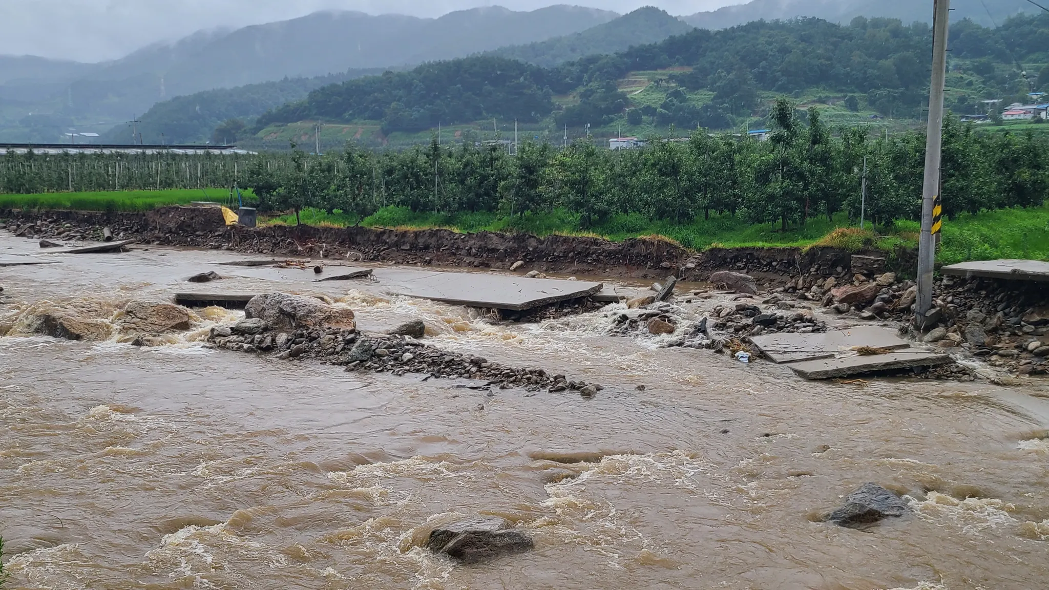
Drone Search at Flood site
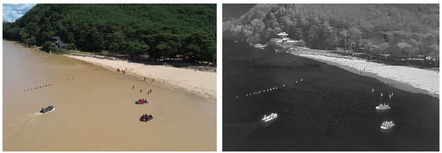
Drone Search with RGB Camera
Drone Search with Thermal Camera
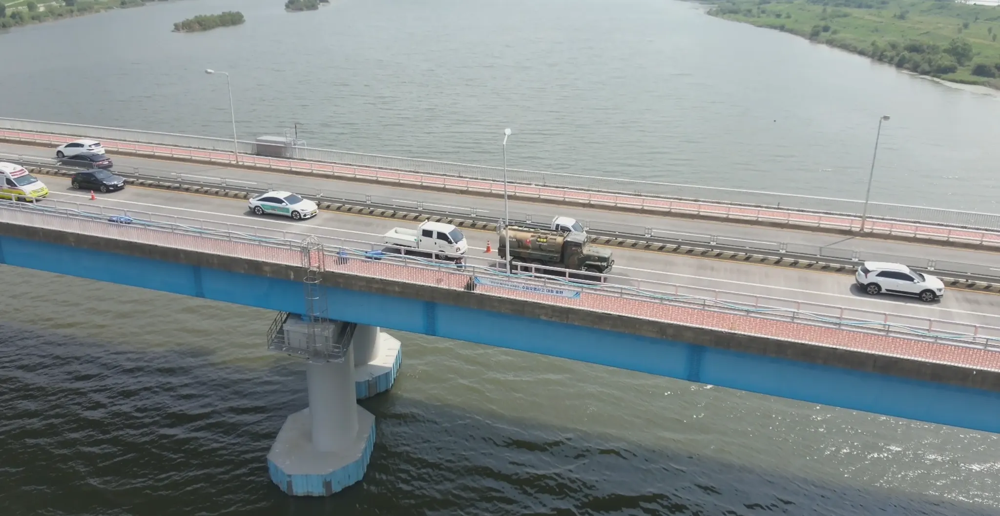
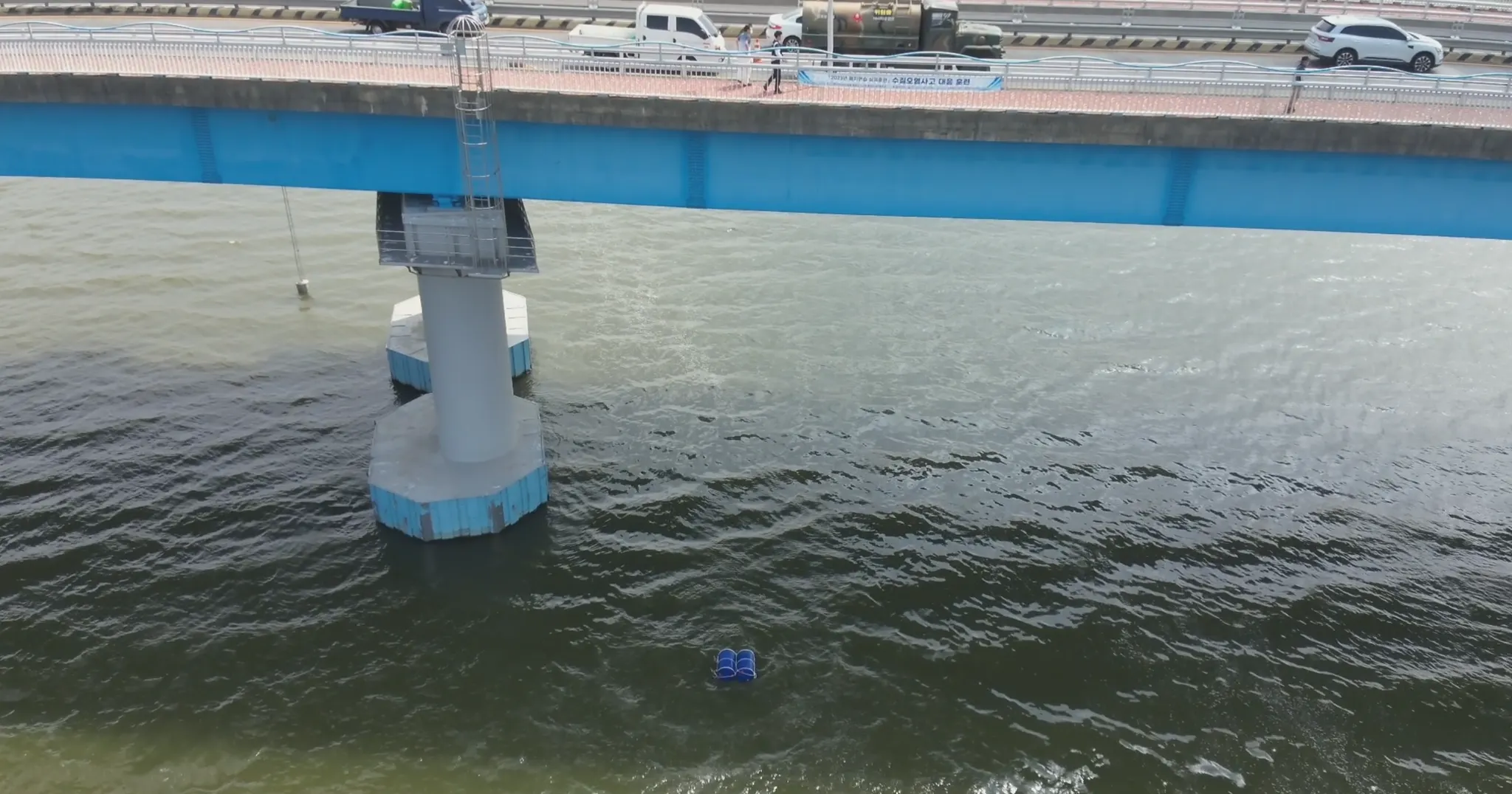
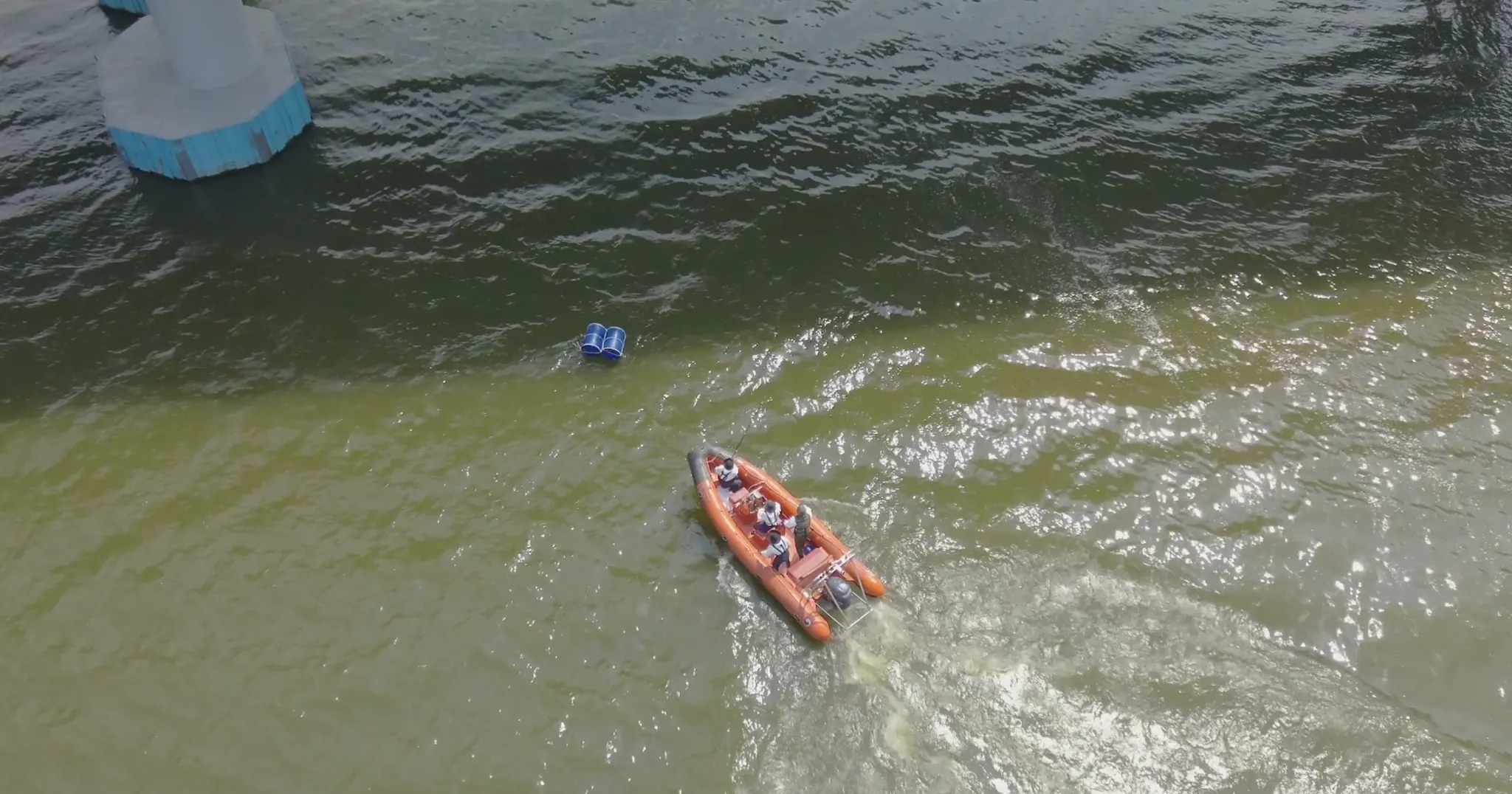
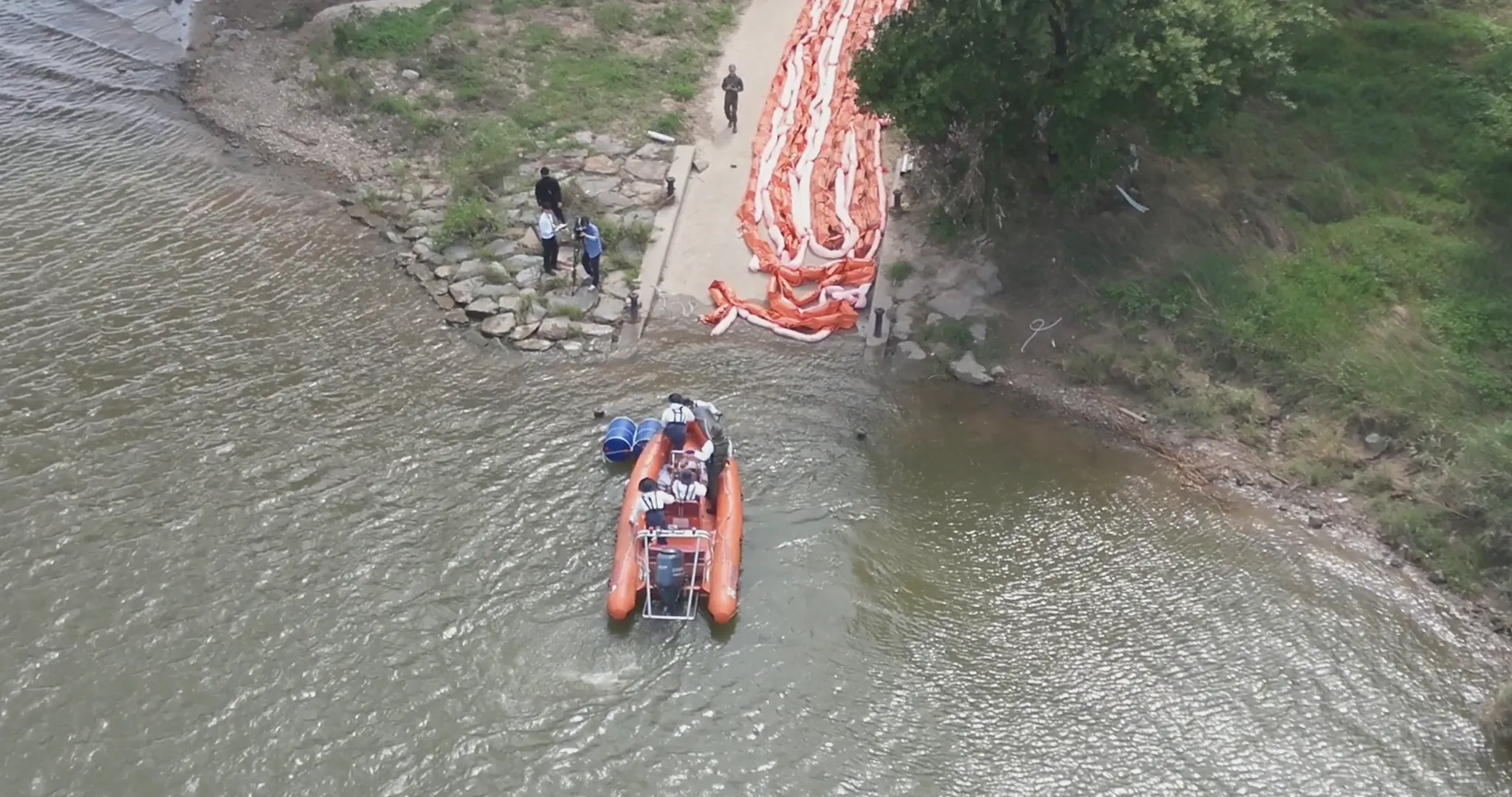
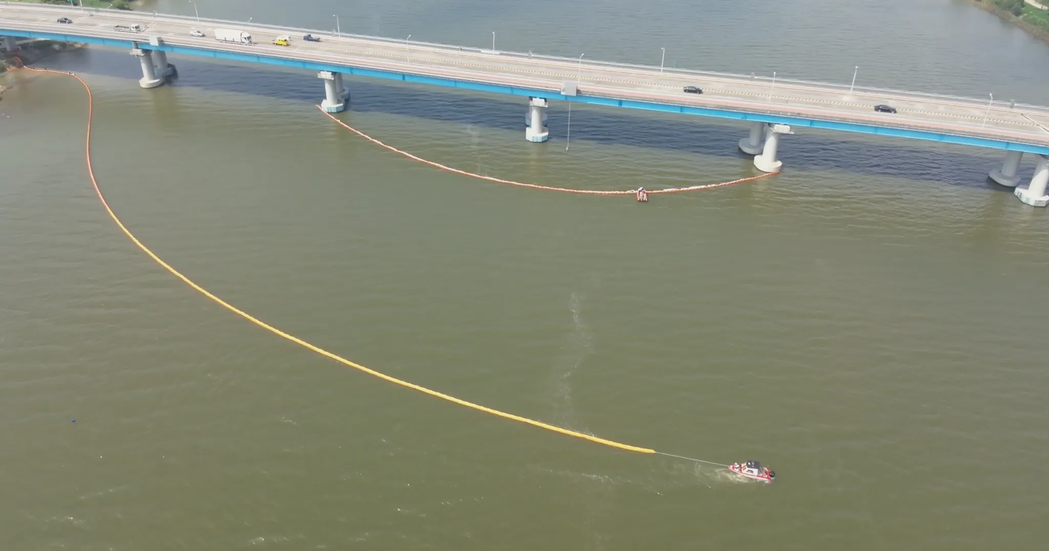
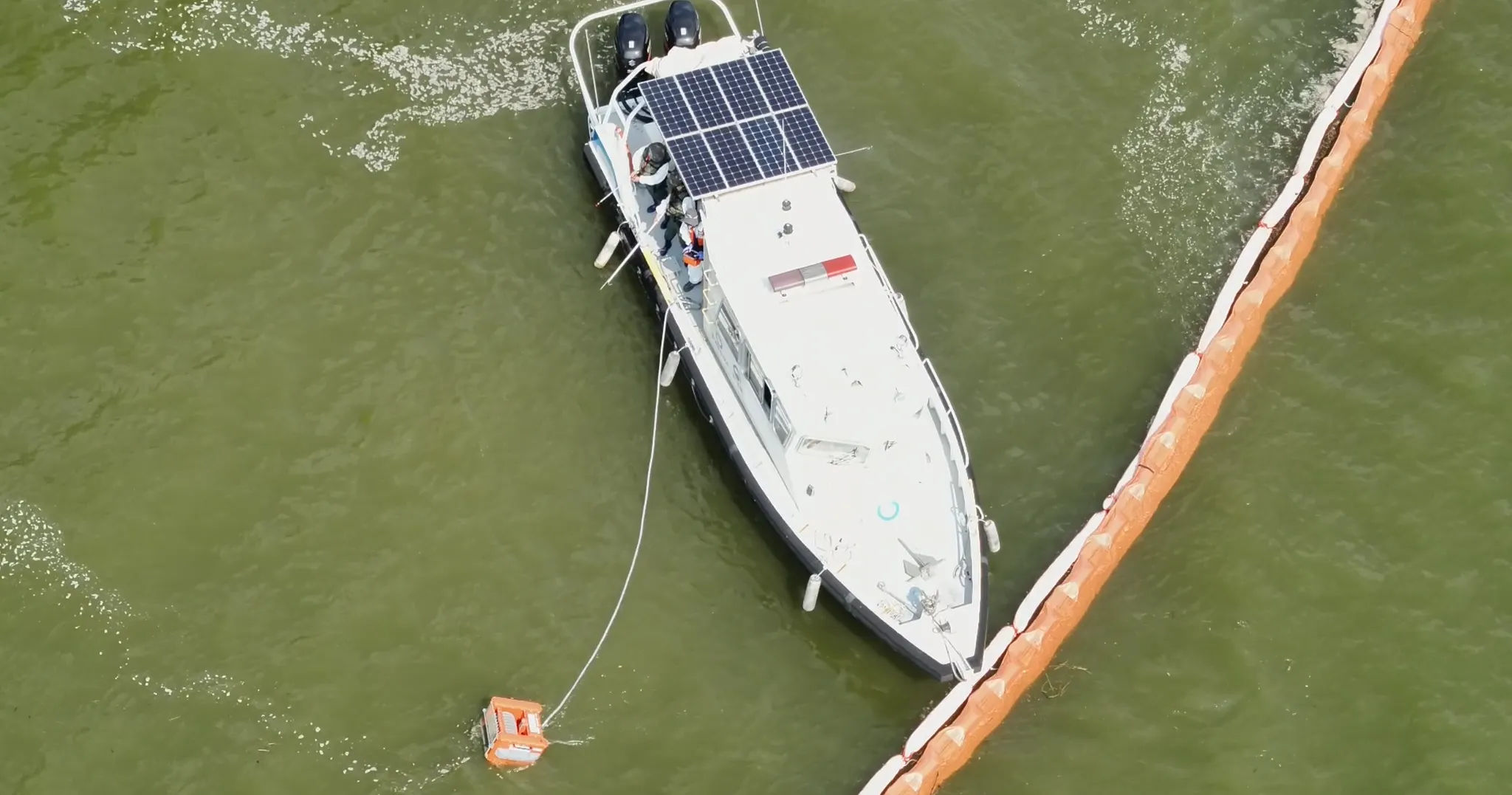
Environmental Pollution Accident Response Drill : Live Situation Broadcasting and Monitoring using Drone
STEP 01
STEP 02
STEP 03
STEP 04
STEP 05
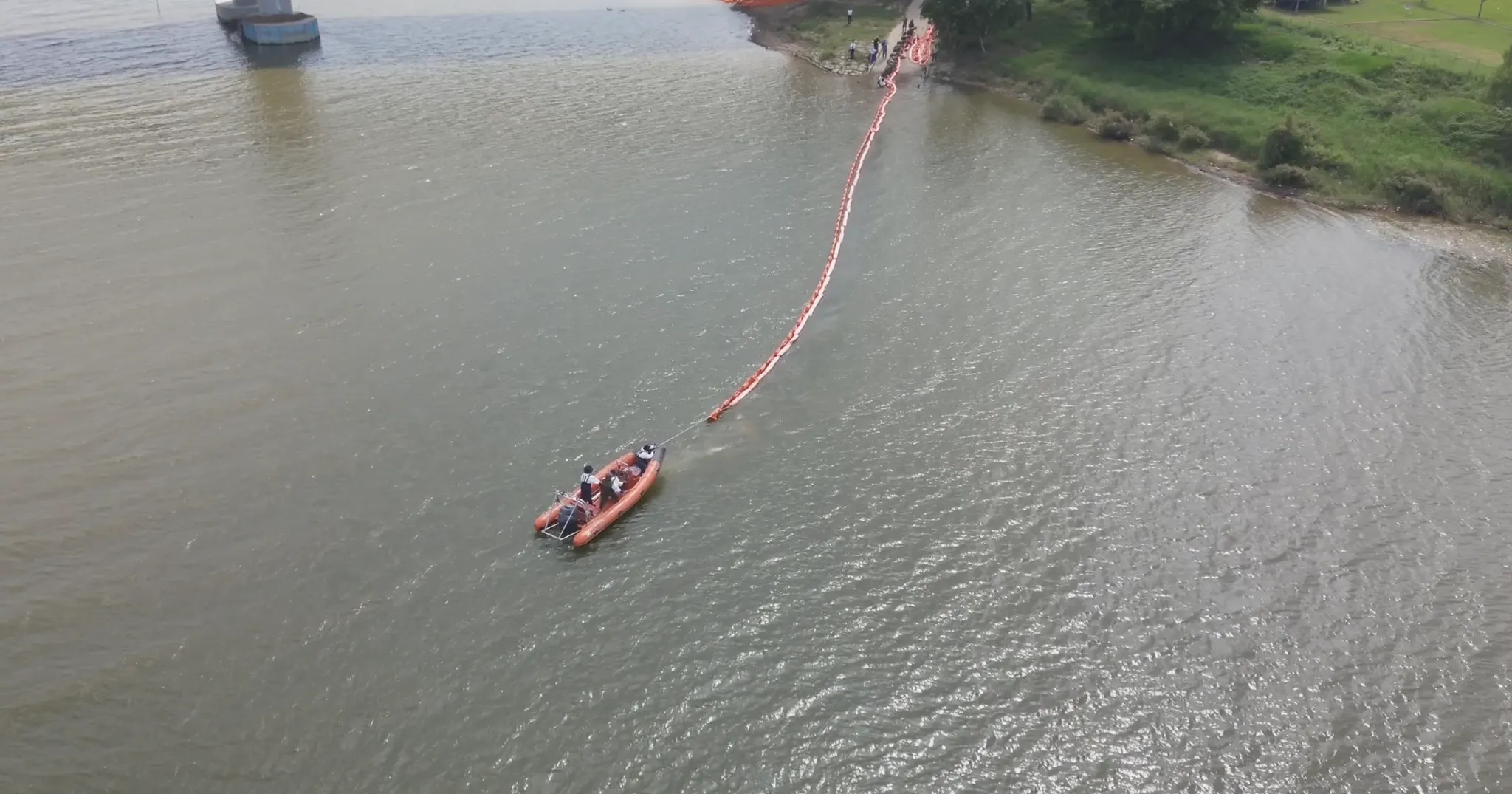
STEP 06
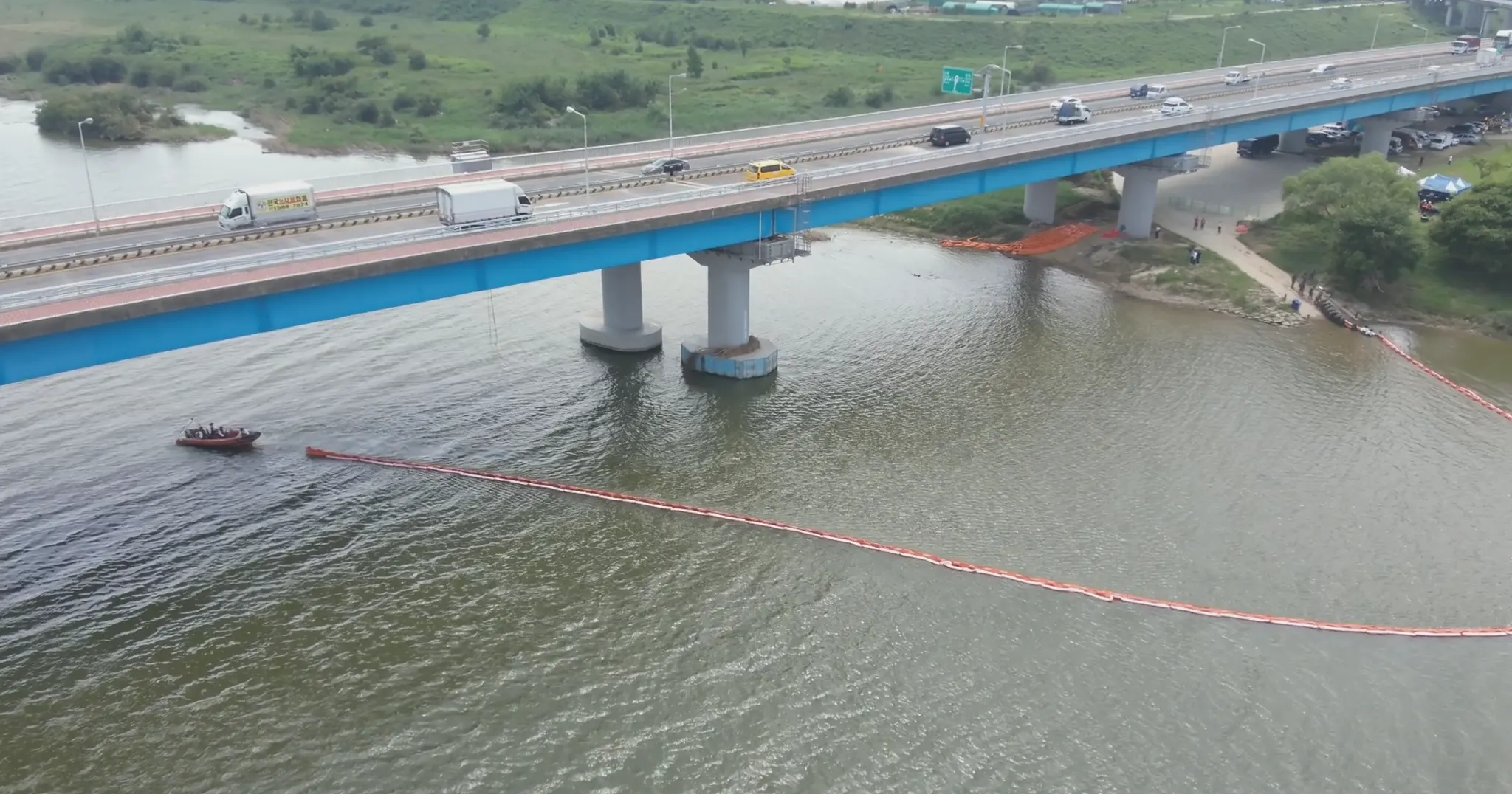
STEP 07
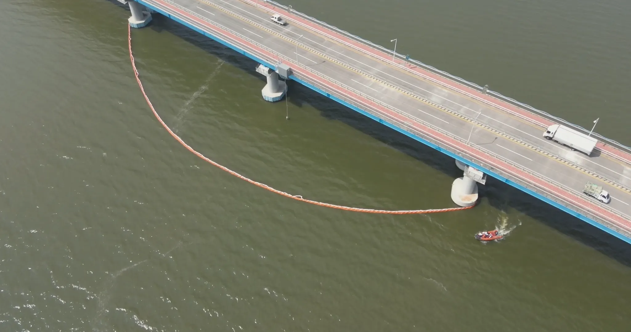
STEP 08
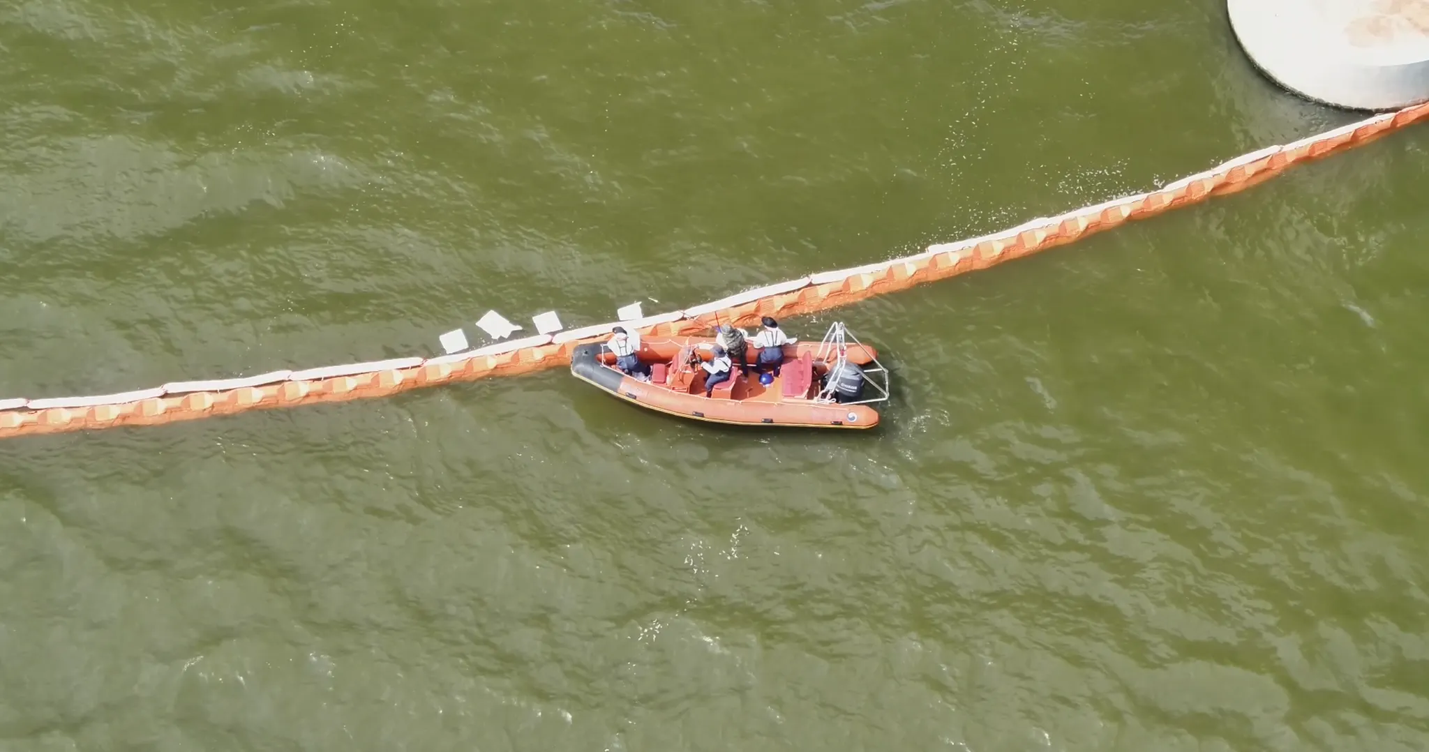
STEP 09
STEP 10
FM Works Inc. is at the center of spatial technology development in the field of disaster safety. By utilizing the integrated disaster information collected based on the accumulated drone and spatial technology capabilities and advanced technologies, it is possible to effectively control disaster sites by supporting prediction, control, analysis, and recovery of disaster and disaster sites such as storm and flood, earthquake, typhoon, and fire. We are trying to contribute to safety technology in various environments such as fire, rescue, search, first aid, hazardous gas leakage, and sea, and continue to study drone utilization technology at disaster sites, starting with the development of drone development and operation technology by the National Fire Research Institute. With years of experience, we will do our best to establish ourselves as a trusted organization in disaster safety.